TYPE:
SENSOR
LAYER:
SEN_SPOT6_20220504_060622600_000
FORMAT:
DIMAP
RASTER:
image/jp2
General Information
Map Name
Geometric Processing Level
Radiometric Processing Level
BASIC
Image dimensions
Number of columns
9652
Number of rows
11795
Number of spectral bands
4
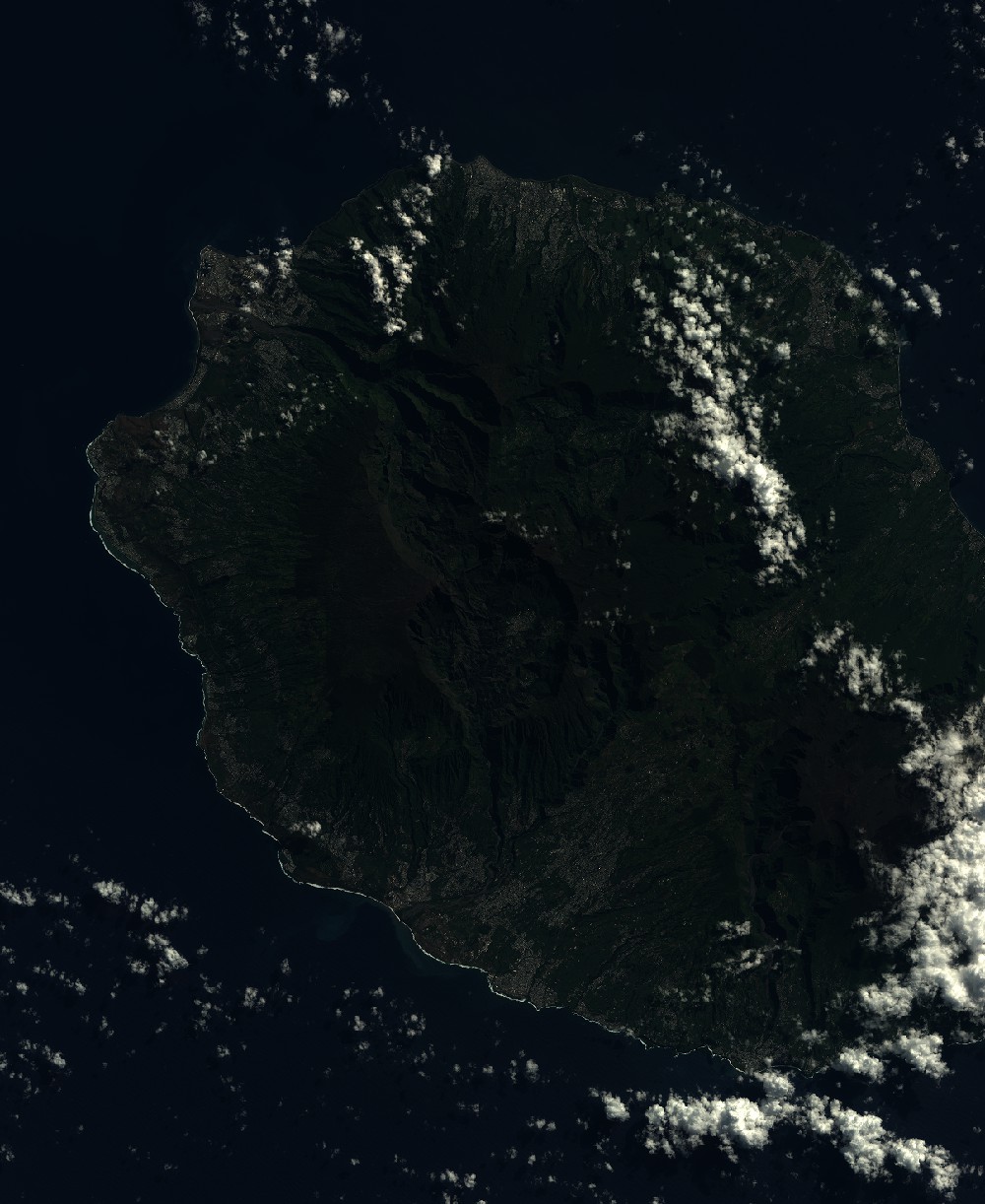
Dataset framing
Vertice
Longitude (DEG)
Latitude (DEG)
Row
Col
#1
55.1648348449
-20.7855081609
1
#2
55.7509978241
-20.7828428384
#3
55.7534874362
-21.4597118844
#4
55.1629610643
-21.4638804948
Dataset sources
SPOT
Coordinate Reference System
Projected Coordinate System
Geocoding tables identification
ITU(0.0)
Production
Production Date
2022-05-13T10:09:09.00Z
Job identification
SPOT6_20220513_0924041sxw4usacia2a_1
Dataset Producer Identification
"SRD GEOSUD / IRD, Irstea, IGN"
Producer link
http://geosud.teledetection.fr/
Quicklook
Copyright