TYPE:
SENSOR
LAYER:
DS_PHR1A_202204260644075_FR1_PX_E055S21_0401_01748
FORMAT:
DIMAP
RASTER:
image/jp2
General Information
Map Name
Geometric Processing Level
Radiometric Processing Level
BASIC
Image dimensions
Number of columns
25168
Number of rows
38900
Number of spectral bands
1
Dataset framing
Vertice
Longitude (DEG)
Latitude (DEG)
Row
Col
#1
55.18994706606794
-21.00346241361747
#2
55.32121762736054
-21.00537302943439
#3
55.32047417169449
-21.18838864640975
#4
55.18895240605969
-21.18550214969967
Dataset sources
PHR
Coordinate Reference System
Projected Coordinate System
Geocoding tables identification
EPSG(6.3)
Production
Production Date
2022-04-26T21:06:25.284
Job identification
6323613101-1
Dataset Producer Identification
AIRBUS DS GEO
Producer link
http://www.geo-airbusds.com
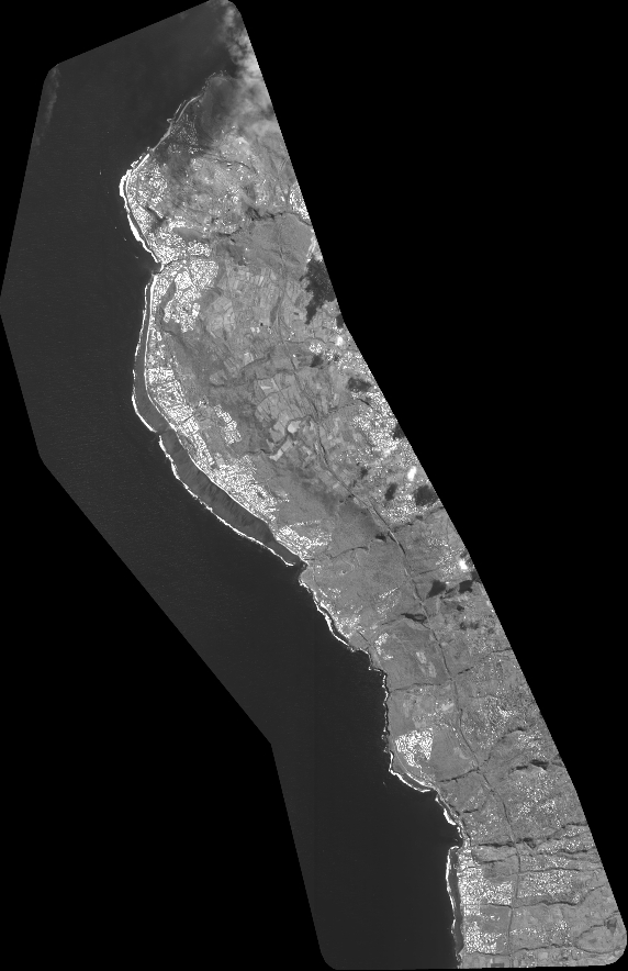
Quicklook
Copyright