TYPE:
SENSOR
LAYER:
DS_PHR1A_202204260644075_FR1_PX_E055S21_0401_01748
FORMAT:
DIMAP
RASTER:
image/jp2
General Information
Map Name
Geometric Processing Level
Radiometric Processing Level
BASIC
Image dimensions
Number of columns
6293
Number of rows
9725
Number of spectral bands
4
Dataset framing
Vertice
Longitude (DEG)
Latitude (DEG)
Row
Col
#1
55.18995488485783
-21.00346956535644
1
#2
55.32123002154939
-21.00538014659737
#3
55.32048704083014
-21.18838182302569
#4
55.18896032079881
-21.18549532463803
Dataset sources
PHR
Coordinate Reference System
Projected Coordinate System
Geocoding tables identification
EPSG(6.3)
Production
Production Date
2022-04-26T21:06:07.117
Job identification
6323613101-2
Dataset Producer Identification
AIRBUS DS GEO
Producer link
http://www.geo-airbusds.com
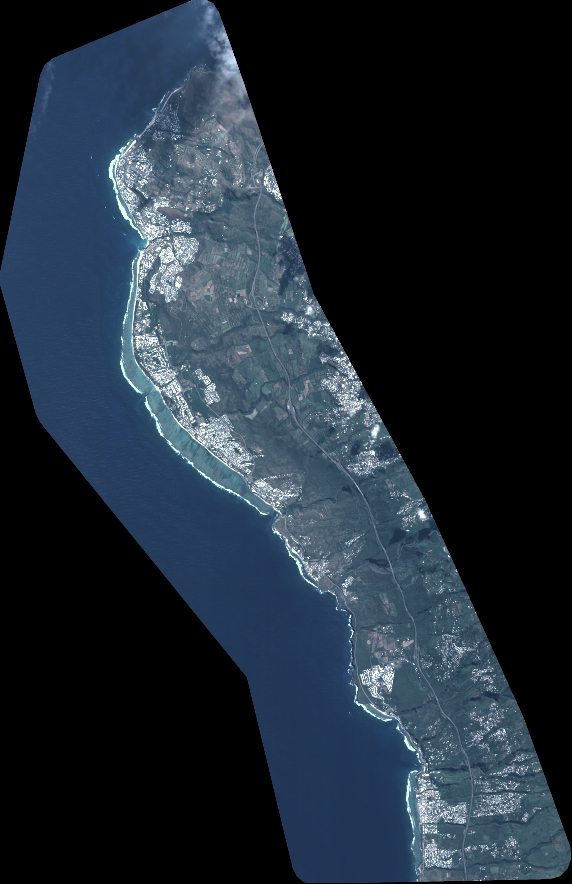
Quicklook
Copyright