TYPE:
SENSOR
LAYER:
DS_PHR1B_202204200640399_FR1_PX_E055S22_0423_01338
FORMAT:
DIMAP
RASTER:
image/jp2
General Information
Map Name
Geometric Processing Level
Radiometric Processing Level
BASIC
Image dimensions
Number of columns
25324
Number of rows
29556
Number of spectral bands
1
Dataset framing
Vertice
Longitude (DEG)
Latitude (DEG)
Row
Col
#1
55.25221441834277
-21.16013250904217
#2
55.37585747160893
-21.15968651575789
#3
55.37958004625661
-21.2945141945167
#4
55.25175376654486
-21.29603728410893
Dataset sources
PHR
Coordinate Reference System
Projected Coordinate System
Geocoding tables identification
EPSG(6.3)
Production
Production Date
2022-04-21T06:51:56.982
Job identification
6317486101-1
Dataset Producer Identification
AIRBUS DS GEO
Producer link
http://www.geo-airbusds.com
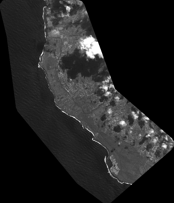
Quicklook
Copyright