TYPE:
SENSOR
LAYER:
SEN_SPOT7_20211002_060316400_000
FORMAT:
DIMAP
RASTER:
image/jp2
General Information
Map Name
Geometric Processing Level
Radiometric Processing Level
BASIC
Image dimensions
Number of columns
38609
Number of rows
43801
Number of spectral bands
1
Dataset framing
Vertice
Longitude (DEG)
Latitude (DEG)
Row
Col
#1
55.1588612271
-20.7844380322
#2
55.7518790212
-20.7827981247
#3
55.7518010337
-21.4081770648
#4
55.1597035916
-21.4096401046
Dataset sources
SPOT
Coordinate Reference System
Projected Coordinate System
Geocoding tables identification
ITU(0.0)
Production
Production Date
2021-10-06T14:53:32.00Z
Job identification
SPOT7_20211006_142449124pqdc69ux4s_1
Dataset Producer Identification
"SRD GEOSUD / IRD, Irstea, IGN"
Producer link
http://geosud.teledetection.fr/
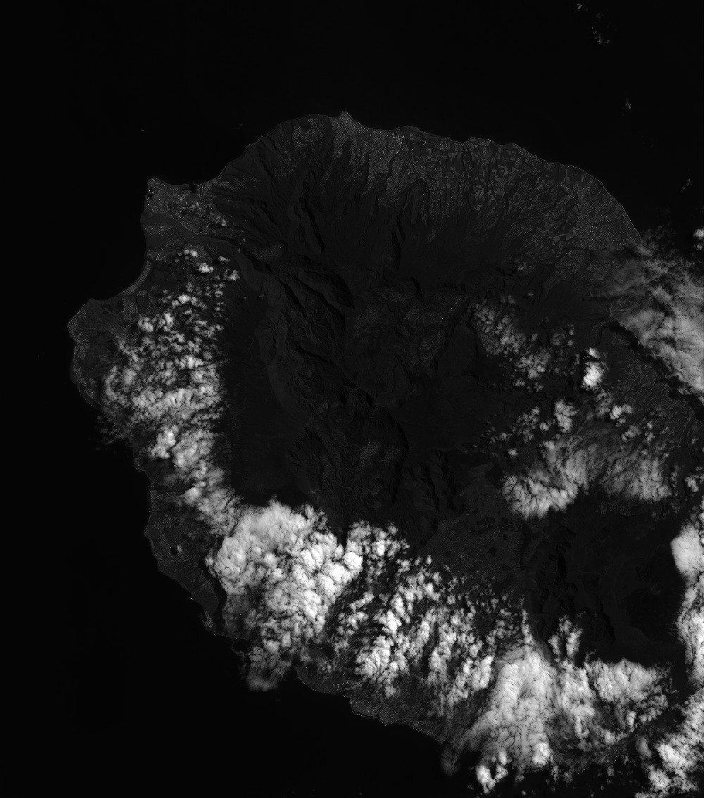
Quicklook
Copyright