TYPE:
SENSOR
LAYER:
SEN_SPOT7_20211002_060316400_000
FORMAT:
DIMAP
RASTER:
image/jp2
General Information
Map Name
Geometric Processing Level
Radiometric Processing Level
BASIC
Image dimensions
Number of columns
9652
Number of rows
10950
Number of spectral bands
4
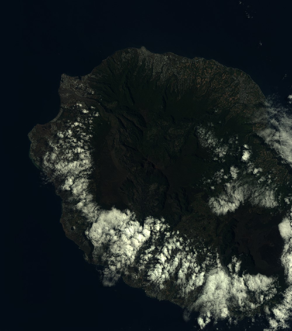
Dataset framing
Vertice
Longitude (DEG)
Latitude (DEG)
Row
Col
#1
55.1588924421
-20.7844665331
1
#2
55.7518487185
-20.7828268045
#3
55.751770697
-21.4081486291
#4
55.1597345908
-21.4096115251
Dataset sources
SPOT
Coordinate Reference System
Projected Coordinate System
Geocoding tables identification
ITU(0.0)
Production
Production Date
2021-10-06T14:53:32.00Z
Job identification
SPOT7_20211006_142449124pqdc69ux4s_1
Dataset Producer Identification
"SRD GEOSUD / IRD, Irstea, IGN"
Producer link
http://geosud.teledetection.fr/
Quicklook
Copyright