TYPE:
SENSOR
LAYER:
SEN_SPOT7_20210823_061046500_000
FORMAT:
DIMAP
RASTER:
image/jp2
General Information
Map Name
Geometric Processing Level
Radiometric Processing Level
BASIC
Image dimensions
Number of columns
9639
Number of rows
7272
Number of spectral bands
4
Dataset framing
Vertice
Longitude (DEG)
Latitude (DEG)
Row
Col
#1
55.2972019709
-20.9891620769
1
#2
55.9053664687
-20.9828541364
#3
55.9067333929
-21.4068757743
#4
55.2932331864
-21.4133244973
Dataset sources
SPOT
Coordinate Reference System
Projected Coordinate System
Geocoding tables identification
ITU(0.0)
Production
Production Date
2021-09-13T11:57:04.00Z
Job identification
SPOT7_20210913_1129051xp456727ar73_1
Dataset Producer Identification
"SRD GEOSUD / IRD, Irstea, IGN"
Producer link
http://geosud.teledetection.fr/
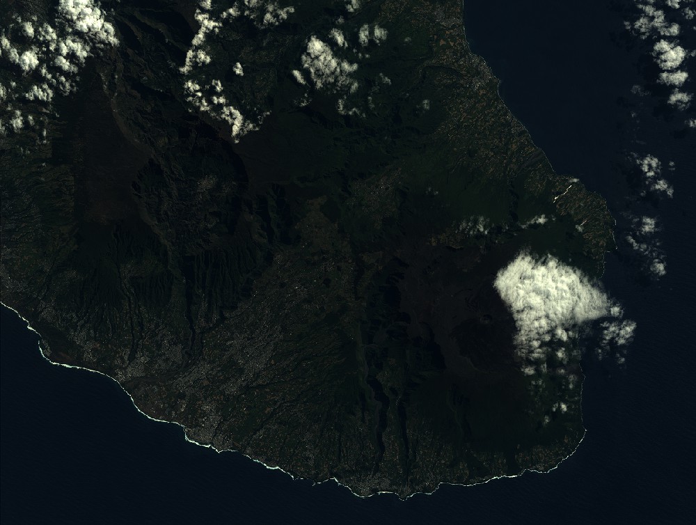
Quicklook
Copyright