TYPE:
SENSOR
LAYER:
SEN_SPOT7_20210823_061029300_000
FORMAT:
DIMAP
RASTER:
image/jp2
General Information
Map Name
Geometric Processing Level
Radiometric Processing Level
BASIC
Image dimensions
Number of columns
9647
Number of rows
9865
Number of spectral bands
4
Dataset framing
Vertice
Longitude (DEG)
Latitude (DEG)
Row
Col
#1
55.1582508778
-20.8309935528
1
#2
55.7532344256
-20.8395965778
#3
55.7556598125
-21.4093952518
#4
55.1543835072
-21.3995417276
Dataset sources
SPOT
Coordinate Reference System
Projected Coordinate System
Geocoding tables identification
ITU(0.0)
Production
Production Date
2021-09-13T12:03:13.00Z
Job identification
SPOT7_20210913_11283410pjw2em3omj1_1
Dataset Producer Identification
"SRD GEOSUD / IRD, Irstea, IGN"
Producer link
http://geosud.teledetection.fr/
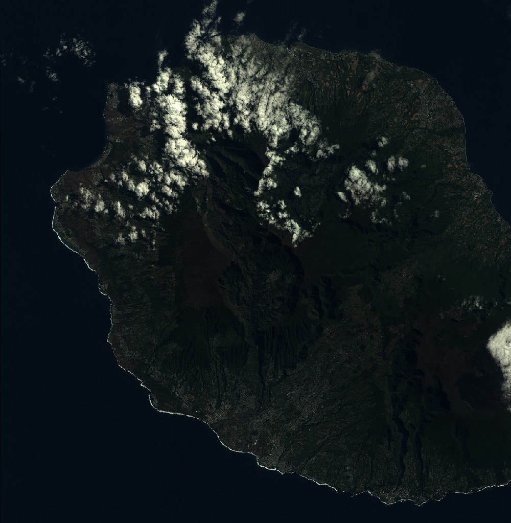
Quicklook
Copyright