TYPE:
SENSOR
LAYER:
DS_PHR1A_202107201037051_FR1_PX_E006N45_1222_01934
FORMAT:
DIMAP
RASTER:
image/jp2
General Information
Map Name
Geometric Processing Level
Radiometric Processing Level
BASIC
Image dimensions
Number of columns
39641
Number of rows
43088
Number of spectral bands
1
Dataset framing
Vertice
Longitude (DEG)
Latitude (DEG)
Row
Col
#1
6.798619836983693
45.98808532090494
#2
7.054660185270775
45.98869881261668
#3
7.054216080286415
45.79592570179178
#4
6.799382229574953
45.79633666061502
Dataset sources
PHR
Coordinate Reference System
Projected Coordinate System
Geocoding tables identification
EPSG(6.3)
Production
Production Date
2021-07-20T23:37:22.092
Job identification
5847679101-1
Dataset Producer Identification
AIRBUS DS GEO
Producer link
http://www.geo-airbusds.com
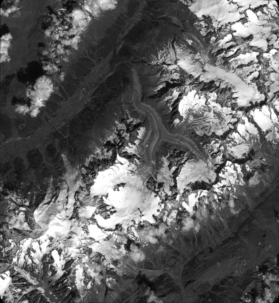
Quicklook
Copyright