TYPE:
SENSOR
LAYER:
DS_PHR1A_202107201037284_FR1_PX_E006N45_1222_01916
FORMAT:
DIMAP
RASTER:
image/jp2
General Information
Map Name
Geometric Processing Level
Radiometric Processing Level
BASIC
Image dimensions
Number of columns
39116
Number of rows
42671
Number of spectral bands
1
Dataset framing
Vertice
Longitude (DEG)
Latitude (DEG)
Row
Col
#1
6.799061562866323
45.98917218020851
#2
7.054430549988528
45.98916802496029
#3
7.054853199364262
45.79504795788399
#4
6.798882068755471
45.79201652113404
Dataset sources
PHR
Coordinate Reference System
Projected Coordinate System
Geocoding tables identification
EPSG(6.3)
Production
Production Date
2021-07-20T23:37:34.500
Job identification
5847678101-1
Dataset Producer Identification
AIRBUS DS GEO
Producer link
http://www.geo-airbusds.com
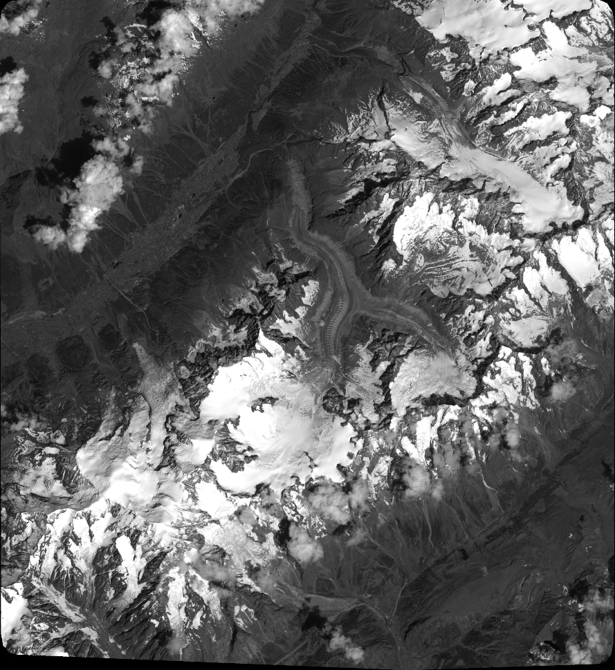
Quicklook
Copyright