TYPE:
SENSOR
LAYER:
DS_PHR1B_202107150637279_FR1_PX_E055S22_0819_00361
FORMAT:
DIMAP
RASTER:
image/jp2
General Information
Map Name
Geometric Processing Level
Radiometric Processing Level
BASIC
Image dimensions
Number of columns
12568
Number of rows
7564
Number of spectral bands
1
Dataset framing
Vertice
Longitude (DEG)
Latitude (DEG)
Row
Col
#1
55.59214175964662
-21.36306875613819
#2
55.6534097353336
-21.36292760311839
#3
55.6536350846577
-21.39700429590601
#4
55.59231062154437
-21.39712174419251
Dataset sources
PHR
Coordinate Reference System
Projected Coordinate System
Geocoding tables identification
EPSG(6.3)
Production
Production Date
2021-07-20T23:34:20.978
Job identification
5848223101-1
Dataset Producer Identification
AIRBUS DS GEO
Producer link
http://www.geo-airbusds.com
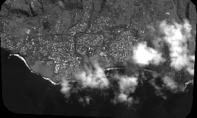
Quicklook
Copyright