TYPE:
SENSOR
LAYER:
DS_PHR1B_202107150637490_FR1_PX_E055S22_0819_00363
FORMAT:
DIMAP
RASTER:
image/jp2
General Information
Map Name
Geometric Processing Level
Radiometric Processing Level
BASIC
Image dimensions
Number of columns
12093
Number of rows
7612
Number of spectral bands
1
Dataset framing
Vertice
Longitude (DEG)
Latitude (DEG)
Row
Col
#1
55.59211702943573
-21.36277007873882
#2
55.65338257408972
-21.36096657150146
#3
55.65369020688289
-21.39697842972273
#4
55.59235647866462
-21.39876674301049
Dataset sources
PHR
Coordinate Reference System
Projected Coordinate System
Geocoding tables identification
EPSG(6.3)
Production
Production Date
2021-07-20T23:36:40.838
Job identification
5848222101-1
Dataset Producer Identification
AIRBUS DS GEO
Producer link
http://www.geo-airbusds.com
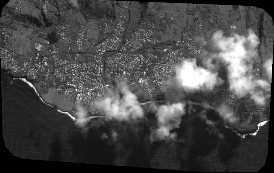
Quicklook
Copyright