TYPE:
SENSOR
LAYER:
DS_PHR1B_202107150637466_FR1_PX_E055S22_0817_01739
FORMAT:
DIMAP
RASTER:
image/jp2
General Information
Map Name
Geometric Processing Level
Radiometric Processing Level
BASIC
Image dimensions
Number of columns
3701
Number of rows
9646
Number of spectral bands
4
Dataset framing
Vertice
Longitude (DEG)
Latitude (DEG)
Row
Col
#1
55.58658180937509
-21.20911588424985
1
#2
55.66086346375649
-21.20747584866197
#3
55.66343606179214
-21.38877498333746
#4
55.5883656793281
-21.39097726906581
Dataset sources
PHR
Coordinate Reference System
Projected Coordinate System
Geocoding tables identification
EPSG(6.3)
Production
Production Date
2021-07-20T23:34:48.755
Job identification
5848220101-2
Dataset Producer Identification
AIRBUS DS GEO
Producer link
http://www.geo-airbusds.com
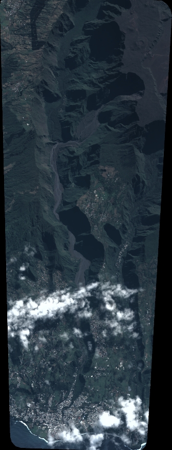
Quicklook
Copyright