TYPE:
SENSOR
LAYER:
DS_PHR1B_202107150636568_FR1_PX_E055S22_0817_01770
FORMAT:
DIMAP
RASTER:
image/jp2
General Information
Map Name
Geometric Processing Level
Radiometric Processing Level
BASIC
Image dimensions
Number of columns
14945
Number of rows
37541
Number of spectral bands
1
Dataset framing
Vertice
Longitude (DEG)
Latitude (DEG)
Row
Col
#1
55.58660638143098
-21.20634453872463
#2
55.66075671434864
-21.20517528763375
#3
55.66118920027782
-21.39002230617958
#4
55.58660236836882
-21.38977126138884
Dataset sources
PHR
Coordinate Reference System
Projected Coordinate System
Geocoding tables identification
EPSG(6.3)
Production
Production Date
2021-07-20T23:38:00.748
Job identification
5848219101-1
Dataset Producer Identification
AIRBUS DS GEO
Producer link
http://www.geo-airbusds.com
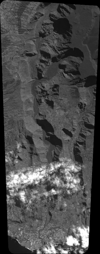
Quicklook
Copyright