TYPE:
SENSOR
LAYER:
DS_PHR1B_202107150636568_FR1_PX_E055S22_0817_01770
FORMAT:
DIMAP
RASTER:
image/jp2
General Information
Map Name
Geometric Processing Level
Radiometric Processing Level
BASIC
Image dimensions
Number of columns
3737
Number of rows
9385
Number of spectral bands
4
Dataset framing
Vertice
Longitude (DEG)
Latitude (DEG)
Row
Col
#1
55.586613796294
-21.20636101915684
1
#2
55.66076442265908
-21.20519621434388
#3
55.66119668324689
-21.39001993361224
#4
55.5866098506108
-21.38976889039434
Dataset sources
PHR
Coordinate Reference System
Projected Coordinate System
Geocoding tables identification
EPSG(6.3)
Production
Production Date
2021-07-20T23:38:22.605
Job identification
5848219101-2
Dataset Producer Identification
AIRBUS DS GEO
Producer link
http://www.geo-airbusds.com
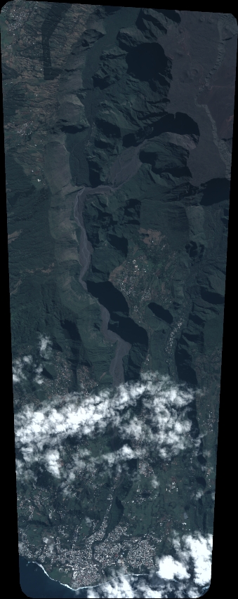
Quicklook
Copyright