TYPE:
SENSOR
LAYER:
DS_PHR1B_202107150637254_FR1_PX_E055S22_0817_01826
FORMAT:
DIMAP
RASTER:
image/jp2
General Information
Map Name
Geometric Processing Level
Radiometric Processing Level
BASIC
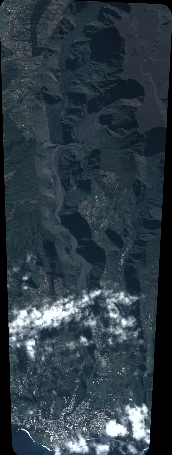
Image dimensions
Number of columns
3838
Number of rows
10136
Number of spectral bands
4
Dataset framing
Vertice
Longitude (DEG)
Latitude (DEG)
Row
Col
#1
55.5865758080474
-21.20709746754826
1
#2
55.66079294634513
-21.20693015696366
#3
55.66246917826241
-21.38910537132259
#4
55.58757757731272
-21.38925696437483
Dataset sources
PHR
Coordinate Reference System
Projected Coordinate System
Geocoding tables identification
EPSG(6.3)
Production
Production Date
2021-07-20T23:29:30.392
Job identification
5848218101-2
Dataset Producer Identification
AIRBUS DS GEO
Producer link
http://www.geo-airbusds.com
Quicklook
Copyright