TYPE:
SENSOR
LAYER:
SEN_SPOT7_20210511_060923600_000
FORMAT:
DIMAP
RASTER:
image/jp2
General Information
Map Name
Geometric Processing Level
Radiometric Processing Level
BASIC
Image dimensions
Number of columns
9646
Number of rows
9865
Number of spectral bands
4
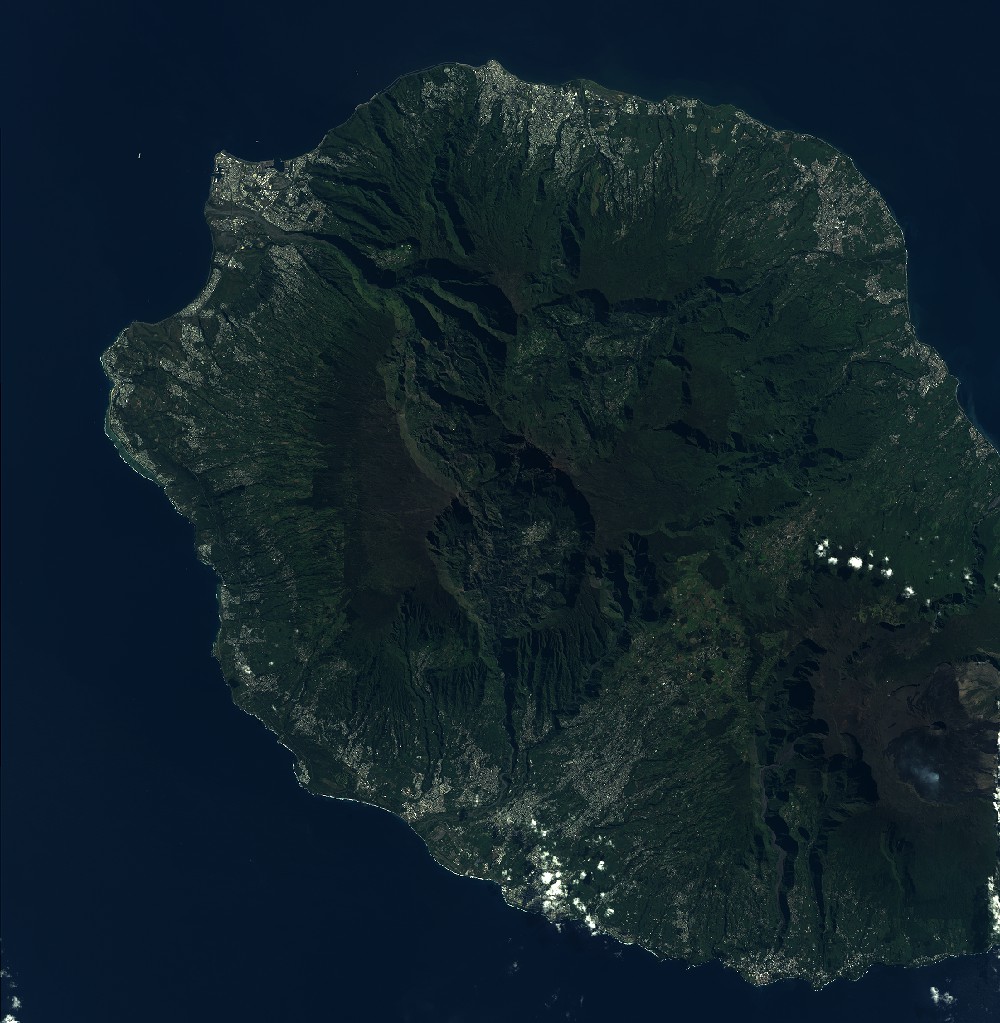
Dataset framing
Vertice
Longitude (DEG)
Latitude (DEG)
Row
Col
#1
55.1567654906
-20.839800173
1
#2
55.7557495391
-20.8374520445
#3
55.7583628006
-21.4070051786
#4
55.1527375516
-21.4093704408
Dataset sources
SPOT
Coordinate Reference System
Projected Coordinate System
Geocoding tables identification
ITU(0.0)
Production
Production Date
2021-05-28T11:22:44.00Z
Job identification
SPOT7_20210528_1101421nv9xqlcyosua_1
Dataset Producer Identification
"SRD GEOSUD / IRD, Irstea, IGN"
Producer link
http://geosud.teledetection.fr/
Quicklook
Copyright