TYPE:
SENSOR
LAYER:
SEN_SPOT7_20210511_060940400_000
FORMAT:
DIMAP
RASTER:
image/jp2
General Information
Map Name
Geometric Processing Level
Radiometric Processing Level
BASIC
Image dimensions
Number of columns
9639
Number of rows
7128
Number of spectral bands
4
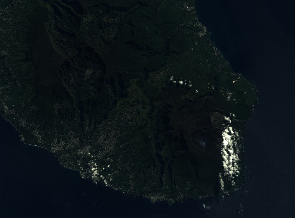
Dataset framing
Vertice
Longitude (DEG)
Latitude (DEG)
Row
Col
#1
55.2900899932
-21.0008144118
1
#2
55.9131683942
-20.9776218212
#3
55.9144751642
-21.4068467356
#4
55.2861248334
-21.4306737691
Dataset sources
SPOT
Coordinate Reference System
Projected Coordinate System
Geocoding tables identification
ITU(0.0)
Production
Production Date
2021-05-28T11:17:22.00Z
Job identification
SPOT7_20210528_1059261qwm78ge52ge2_1
Dataset Producer Identification
"SRD GEOSUD / IRD, Irstea, IGN"
Producer link
http://geosud.teledetection.fr/
Quicklook
Copyright