TYPE:
SENSOR
LAYER:
DS_PHR1A_202105110636213_FR1_PX_E055S22_1024_01863
FORMAT:
DIMAP
RASTER:
image/jp2
General Information
Map Name
Geometric Processing Level
Radiometric Processing Level
BASIC
Image dimensions
Number of columns
32179
Number of rows
41456
Number of spectral bands
1
Dataset framing
Vertice
Longitude (DEG)
Latitude (DEG)
Row
Col
#1
55.70341052914556
-21.09455842665799
#2
55.86267250771358
-21.09656880194499
#3
55.86287672996952
-21.29179858269954
#4
55.70264508129735
-21.28574989383992
Dataset sources
PHR
Coordinate Reference System
Projected Coordinate System
Geocoding tables identification
EPSG(6.3)
Production
Production Date
2021-12-08T17:48:55.050
Job identification
6079651101-1
Dataset Producer Identification
AIRBUS DS GEO
Producer link
http://www.geo-airbusds.com
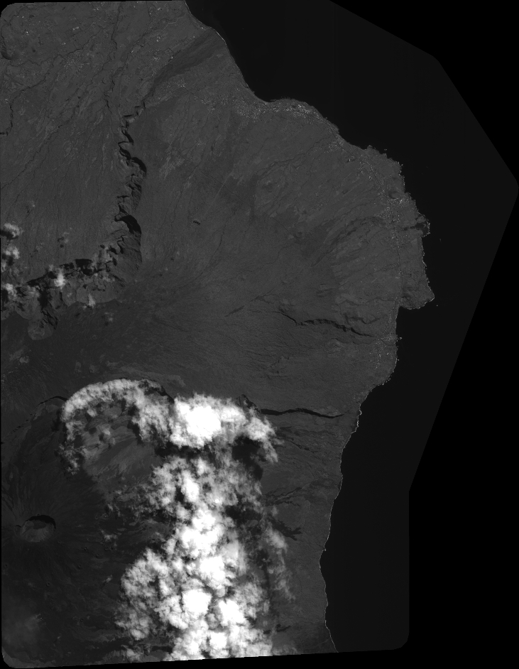
Quicklook
Copyright