TYPE:
SENSOR
LAYER:
DS_PHR1A_202105110636213_FR1_PX_E055S22_1024_01863
FORMAT:
DIMAP
RASTER:
image/jp2
General Information
Map Name
Geometric Processing Level
Radiometric Processing Level
BASIC
Image dimensions
Number of columns
8046
Number of rows
10365
Number of spectral bands
4
Dataset framing
Vertice
Longitude (DEG)
Latitude (DEG)
Row
Col
#1
55.70341299415664
-21.09456554774242
1
#2
55.86268489484257
-21.09657597877237
#3
55.8628891565518
-21.29181049679777
#4
55.70264756971149
-21.28576195516798
Dataset sources
PHR
Coordinate Reference System
Projected Coordinate System
Geocoding tables identification
EPSG(6.3)
Production
Production Date
2021-12-08T17:49:10.687
Job identification
6079651101-2
Dataset Producer Identification
AIRBUS DS GEO
Producer link
http://www.geo-airbusds.com
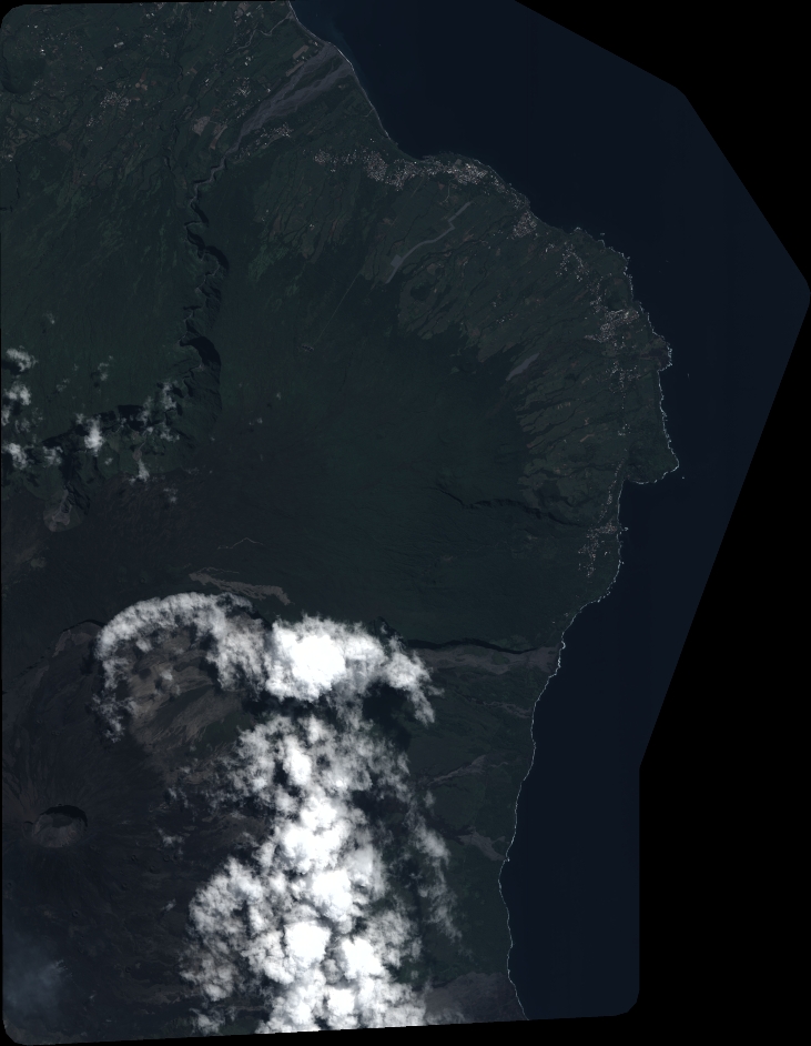
Quicklook
Copyright