TYPE:
SENSOR
LAYER:
DS_PHR1A_202104290628573_FR1_PX_E055S22_0421_02981
FORMAT:
DIMAP
RASTER:
image/jp2
General Information
Map Name
Geometric Processing Level
Radiometric Processing Level
BASIC
Image dimensions
Number of columns
36138
Number of rows
66656
Number of spectral bands
1
Dataset framing
Vertice
Longitude (DEG)
Latitude (DEG)
Row
Col
#1
55.19010305059886
-21.00441805138821
#2
55.38278610204658
-21.00344729866491
#3
55.38125869835009
-21.31474068998267
#4
55.19056841274096
-21.31805561030227
Dataset sources
PHR
Coordinate Reference System
Projected Coordinate System
Geocoding tables identification
EPSG(6.3)
Production
Production Date
2021-06-24T22:58:03.525
Job identification
5808986101-1
Dataset Producer Identification
AIRBUS DS GEO
Producer link
http://www.geo-airbusds.com
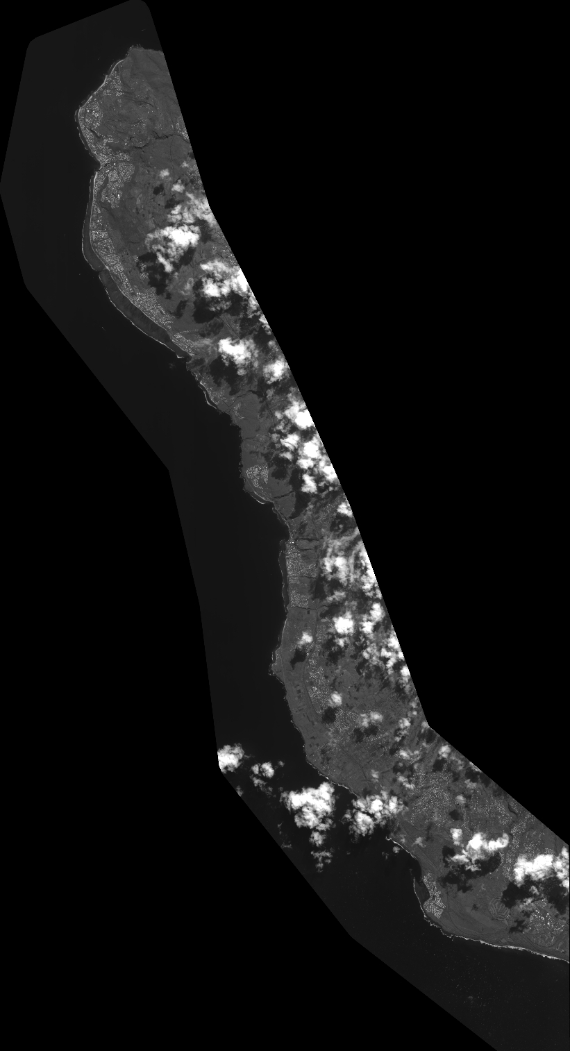
Quicklook
Copyright