TYPE:
SENSOR
LAYER:
DS_PHR1A_202104290629085_FR1_PX_E055S22_0617_01568
FORMAT:
DIMAP
RASTER:
image/jp2
General Information
Map Name
Geometric Processing Level
Radiometric Processing Level
BASIC
Image dimensions
Number of columns
39806
Number of rows
34781
Number of spectral bands
1
Dataset framing
Vertice
Longitude (DEG)
Latitude (DEG)
Row
Col
#1
55.34250869642224
-21.22692924118047
#2
55.54968404274508
-21.22964438497084
#3
55.54648460843435
-21.3897186405527
#4
55.34123664807471
-21.38844172862747
Dataset sources
PHR
Coordinate Reference System
Projected Coordinate System
Geocoding tables identification
EPSG(6.3)
Production
Production Date
2021-06-24T22:52:13.162
Job identification
5808985101-1
Dataset Producer Identification
AIRBUS DS GEO
Producer link
http://www.geo-airbusds.com
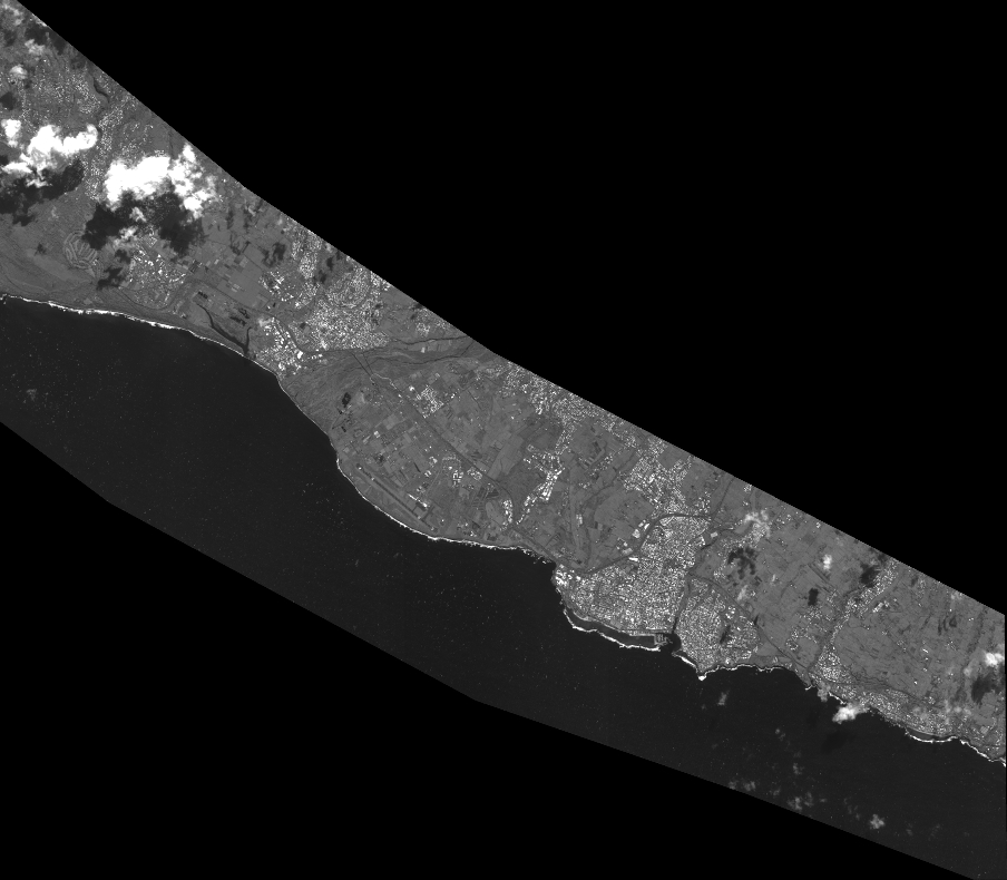
Quicklook
Copyright