TYPE:
SENSOR
LAYER:
DS_PHR1A_202104290629085_FR1_PX_E055S22_0617_01568
FORMAT:
DIMAP
RASTER:
image/jp2
General Information
Map Name
Geometric Processing Level
Radiometric Processing Level
BASIC
Image dimensions
Number of columns
9952
Number of rows
8695
Number of spectral bands
4
Dataset framing
Vertice
Longitude (DEG)
Latitude (DEG)
Row
Col
#1
55.34251611547541
-21.22694090899336
1
#2
55.54968647244633
-21.22965593217872
#3
55.54648716072534
-21.38971174249978
#4
55.34124439650166
-21.38843481649422
Dataset sources
PHR
Coordinate Reference System
Projected Coordinate System
Geocoding tables identification
EPSG(6.3)
Production
Production Date
2021-06-24T22:51:52.396
Job identification
5808985101-2
Dataset Producer Identification
AIRBUS DS GEO
Producer link
http://www.geo-airbusds.com
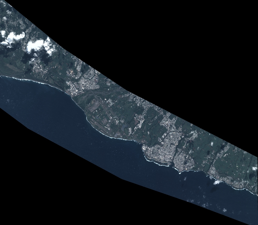
Quicklook
Copyright