TYPE:
SENSOR
LAYER:
DS_PHR1A_202104290629248_FR1_PX_E055S22_0716_00673
FORMAT:
DIMAP
RASTER:
image/jp2
General Information
Map Name
Geometric Processing Level
Radiometric Processing Level
BASIC
Image dimensions
Number of columns
12803
Number of rows
14397
Number of spectral bands
1
Dataset framing
Vertice
Longitude (DEG)
Latitude (DEG)
Row
Col
#1
55.5101040671878
-21.32467810764417
#2
55.57659716309415
-21.32782526810087
#3
55.57520275688302
-21.39461693224234
#4
55.50960548661782
-21.39237686681127
Dataset sources
PHR
Coordinate Reference System
Projected Coordinate System
Geocoding tables identification
EPSG(6.3)
Production
Production Date
2021-06-24T22:48:07.223
Job identification
5808984101-1
Dataset Producer Identification
AIRBUS DS GEO
Producer link
http://www.geo-airbusds.com
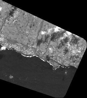
Quicklook
Copyright