TYPE:
SENSOR
LAYER:
DS_PHR1A_202104290629248_FR1_PX_E055S22_0716_00673
FORMAT:
DIMAP
RASTER:
image/jp2
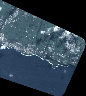
General Information
Map Name
Geometric Processing Level
Radiometric Processing Level
BASIC
Image dimensions
Number of columns
3201
Number of rows
3599
Number of spectral bands
4
Dataset framing
Vertice
Longitude (DEG)
Latitude (DEG)
Row
Col
#1
55.51011172900158
-21.32469026183951
1
#2
55.57659443249664
-21.32783689923762
#3
55.5752001974551
-21.39460976877028
#4
55.50961315613611
-21.39237003747673
Dataset sources
PHR
Coordinate Reference System
Projected Coordinate System
Geocoding tables identification
EPSG(6.3)
Production
Production Date
2021-06-24T22:48:30.600
Job identification
5808984101-2
Dataset Producer Identification
AIRBUS DS GEO
Producer link
http://www.geo-airbusds.com
Quicklook
Copyright