TYPE:
ORTHO
LAYER:
DS_PHR1A_202104290628593_FR1_PX_E055S22_0422_01789
FORMAT:
DIMAP
RASTER:
image/jp2
General Information
Map Name
Geometric Processing Level
Radiometric Processing Level
BASIC
Image dimensions
Number of columns
7149
Number of rows
10243
Number of spectral bands
4
Dataset framing
Vertice
Longitude (DEG)
Latitude (DEG)
Row
Col
#1
55.23991352710153
-21.12939935146803
1
#2
55.37752855636858
-21.13077366895712
#3
55.37550409532547
-21.31578035144541
#4
55.23771756304186
-21.31439286093773
Dataset sources
PHR
Coordinate Reference System
Projected Coordinate System
Geocoding tables identification
EPSG(6.3)
Projected Coordinate System name
32740
Projected Coordinate System code
urn:ogc:def:crs:EPSG::32740
Geoposition
Upper - Left Map X Coordinate
317213
Upper - Left Map Y Coordinate
7662519
Image sampling
2 x 2
Production
Production Date
2021-05-03T18:08:03.515
Job identification
5713729101-2
Dataset Producer Identification
AIRBUS DS GEO
Producer link
http://www.geo-airbusds.com
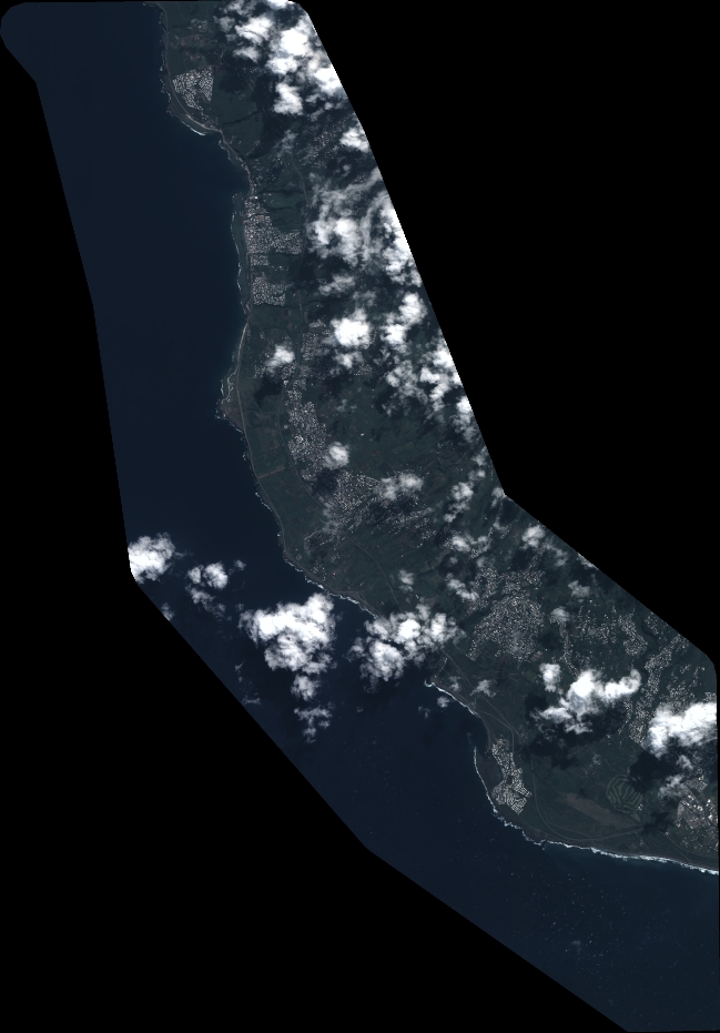
Quicklook
Copyright