TYPE:
ORTHO
LAYER:
DS_PHR1A_202104290628573_FR1_PX_E055S22_0423_01478
FORMAT:
DIMAP
RASTER:
image/jp2
General Information
Map Name
Geometric Processing Level
Radiometric Processing Level
BASIC
Image dimensions
Number of columns
24846
Number of rows
33998
Number of spectral bands
1
Dataset framing
Vertice
Longitude (DEG)
Latitude (DEG)
Row
Col
#1
55.19049498448085
-21.00347301699303
#2
55.30997113294074
-21.00470150014127
#3
55.30823422050342
-21.15822528110005
#4
55.18863543965076
-21.15698698073338
Dataset sources
PHR
Coordinate Reference System
Projected Coordinate System
Geocoding tables identification
EPSG(6.3)
Projected Coordinate System name
32740
Projected Coordinate System code
urn:ogc:def:crs:EPSG::32740
Geoposition
Upper - Left Map X Coordinate
311921.25
Upper - Left Map Y Coordinate
7676403.25
Image sampling
0.5 x 0.5
Production
Production Date
2021-05-03T18:06:21.611
Job identification
5713728101-1
Dataset Producer Identification
AIRBUS DS GEO
Producer link
http://www.geo-airbusds.com
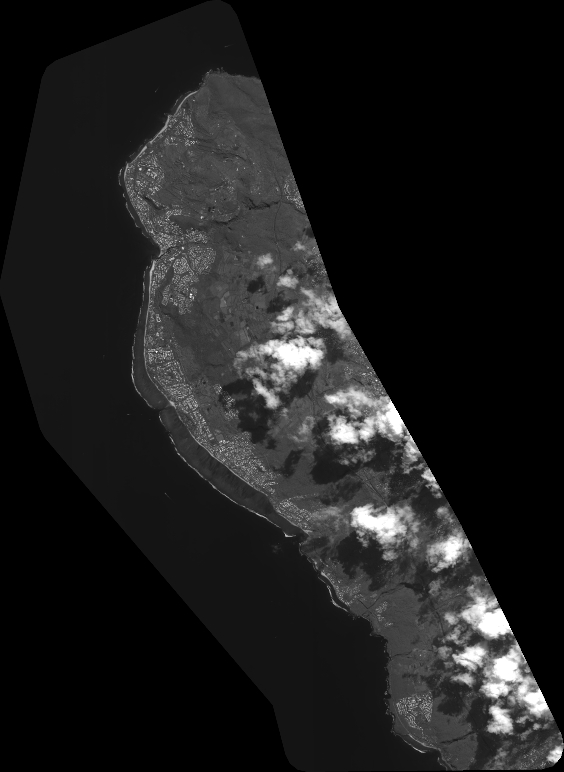
Quicklook
Copyright