TYPE:
ORTHO
LAYER:
DS_PHR1A_202104290629249_FR1_PX_E055S22_0716_00642
FORMAT:
DIMAP
RASTER:
image/jp2
General Information
Map Name
Geometric Processing Level
Radiometric Processing Level
BASIC
Image dimensions
Number of columns
13281
Number of rows
14652
Number of spectral bands
1
Dataset framing
Vertice
Longitude (DEG)
Latitude (DEG)
Row
Col
#1
55.51198413151926
-21.32794402594844
#2
55.57599426314066
-21.32849847532264
#3
55.57535452503599
-21.39466573686328
#4
55.51131566202953
-21.39410940260505
Dataset sources
PHR
Coordinate Reference System
Projected Coordinate System
Geocoding tables identification
EPSG(6.3)
Projected Coordinate System name
32740
Projected Coordinate System code
urn:ogc:def:crs:EPSG::32740
Geoposition
Upper - Left Map X Coordinate
345679.75
Upper - Left Map Y Coordinate
7640828.25
Image sampling
0.5 x 0.5
Production
Production Date
2021-05-03T18:02:32.925
Job identification
5713727101-1
Dataset Producer Identification
AIRBUS DS GEO
Producer link
http://www.geo-airbusds.com
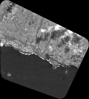
Quicklook
Copyright