TYPE:
ORTHO
LAYER:
DS_PHR1A_202104290629249_FR1_PX_E055S22_0716_00642
FORMAT:
DIMAP
RASTER:
image/jp2
General Information
Map Name
Geometric Processing Level
Radiometric Processing Level
BASIC
Image dimensions
Number of columns
3321
Number of rows
3664
Number of spectral bands
4
Dataset framing
Vertice
Longitude (DEG)
Latitude (DEG)
Row
Col
#1
55.51197696988476
-21.3279371877695
1
#2
55.5759870983367
-21.3284916397019
#3
55.5753473134893
-21.39466341729946
#4
55.51130845169923
-21.39410708034514
Dataset sources
PHR
Coordinate Reference System
Projected Coordinate System
Geocoding tables identification
EPSG(6.3)
Projected Coordinate System name
32740
Projected Coordinate System code
urn:ogc:def:crs:EPSG::32740
Geoposition
Upper - Left Map X Coordinate
345679
Upper - Left Map Y Coordinate
7640829
Image sampling
2 x 2
Production
Production Date
2021-05-03T18:02:23.574
Job identification
5713727101-2
Dataset Producer Identification
AIRBUS DS GEO
Producer link
http://www.geo-airbusds.com
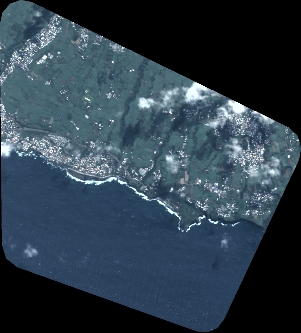
Quicklook
Copyright