TYPE:
ORTHO
LAYER:
DS_PHR1A_202104290629086_FR1_PX_E055S22_0617_01515
FORMAT:
DIMAP
RASTER:
image/jp2
General Information
Map Name
Geometric Processing Level
Radiometric Processing Level
BASIC
Image dimensions
Number of columns
10382
Number of rows
8649
Number of spectral bands
4
Dataset framing
Vertice
Longitude (DEG)
Latitude (DEG)
Row
Col
#1
55.3445487327959
-21.23077111808355
1
#2
55.54455631115155
-21.23261517323476
#3
55.54301607194511
-21.3888392908185
#4
55.34279705511891
-21.38698037124156
Dataset sources
PHR
Coordinate Reference System
Projected Coordinate System
Geocoding tables identification
EPSG(6.3)
Projected Coordinate System name
32740
Projected Coordinate System code
urn:ogc:def:crs:EPSG::32740
Geoposition
Upper - Left Map X Coordinate
328199
Upper - Left Map Y Coordinate
7651413
Image sampling
2 x 2
Production
Production Date
2021-05-03T18:09:07.086
Job identification
5713726101-2
Dataset Producer Identification
AIRBUS DS GEO
Producer link
http://www.geo-airbusds.com
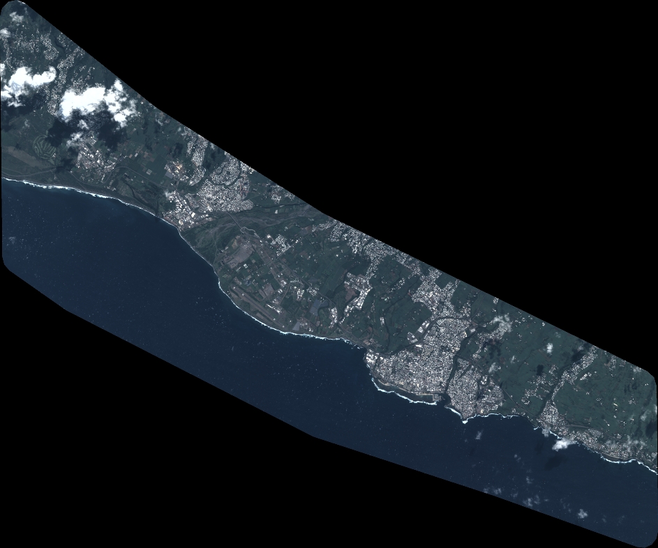
Quicklook
Copyright