TYPE:
SENSOR
LAYER:
DS_PHR1A_202102211031453_FR1_PX_E007N48_1015_01792
FORMAT:
DIMAP
RASTER:
image/jp2
General Information
Map Name
Geometric Processing Level
Radiometric Processing Level
BASIC
Image dimensions
Number of columns
9807
Number of rows
9972
Number of spectral bands
4
Dataset framing
Vertice
Longitude (DEG)
Latitude (DEG)
Row
Col
#1
7.630664279096076
48.70803772919176
1
#2
7.903038020152158
48.70820386920217
#3
7.902356257960306
48.52897187335682
#4
7.631391115501001
48.52810469437394
Dataset sources
PHR
Coordinate Reference System
Projected Coordinate System
Geocoding tables identification
EPSG(6.3)
Production
Production Date
2021-02-24T14:55:07.298
Job identification
5606459101-2
Dataset Producer Identification
AIRBUS DS GEO
Producer link
http://www.geo-airbusds.com
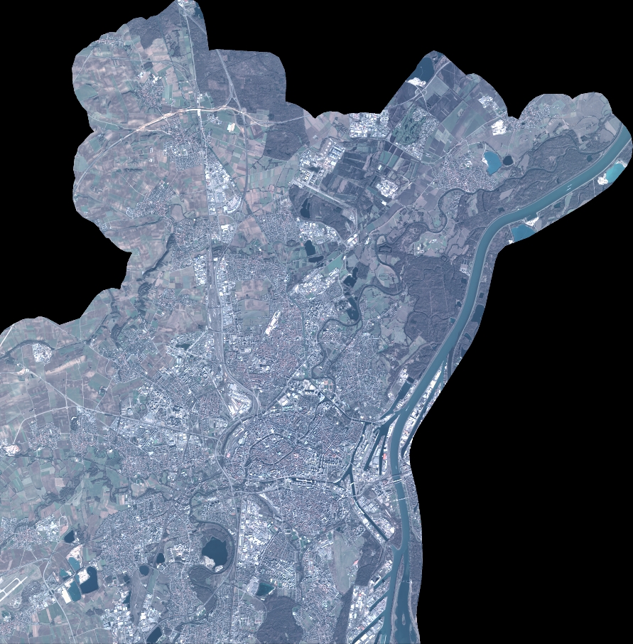
Quicklook
Copyright