TYPE:
SENSOR
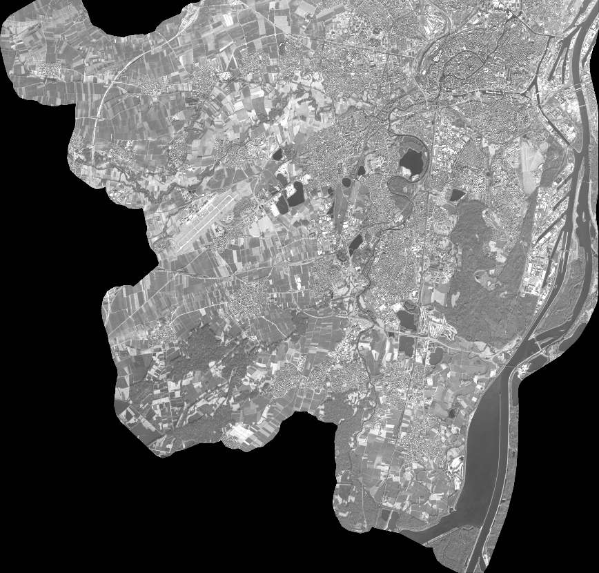
LAYER:
DS_PHR1B_202101111047301_FR1_PX_E007N48_0913_01648
FORMAT:
DIMAP
RASTER:
image/jp2
General Information
Map Name
Geometric Processing Level
Radiometric Processing Level
BASIC
Image dimensions
Number of columns
38206
Number of rows
36536
Number of spectral bands
1
Dataset framing
Vertice
Longitude (DEG)
Latitude (DEG)
Row
Col
#1
7.531708227585911
48.60789243491801
#2
7.811076778990746
48.60087416985891
#3
7.8115237953238
48.42784954325011
#4
7.532108265590415
48.43605552740237
Dataset sources
PHR
Coordinate Reference System
Projected Coordinate System
Geocoding tables identification
EPSG(6.3)
Production
Production Date
2021-02-24T14:56:16.672
Job identification
5606460101-1
Dataset Producer Identification
AIRBUS DS GEO
Producer link
http://www.geo-airbusds.com
Quicklook
Copyright