TYPE:
SENSOR
LAYER:
DS_PHR1B_202101111047301_FR1_PX_E007N48_0913_01648
FORMAT:
DIMAP
RASTER:
image/jp2
General Information
Map Name
Geometric Processing Level
Radiometric Processing Level
BASIC
Image dimensions
Number of columns
9552
Number of rows
9134
Number of spectral bands
4
Dataset framing
Vertice
Longitude (DEG)
Latitude (DEG)
Row
Col
#1
7.531735367724235
48.60788446100426
1
#2
7.811097784222332
48.60086820620012
#3
7.811542257861124
48.42785494479927
#4
7.532133641052926
48.43605846903104
Dataset sources
PHR
Coordinate Reference System
Projected Coordinate System
Geocoding tables identification
EPSG(6.3)
Production
Production Date
2021-02-24T14:55:47.181
Job identification
5606460101-2
Dataset Producer Identification
AIRBUS DS GEO
Producer link
http://www.geo-airbusds.com
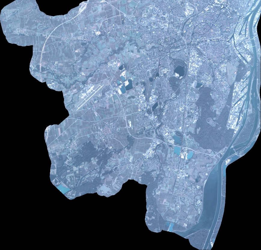
Quicklook
Copyright