TYPE:
SENSOR
LAYER:
DS_PHR1A_202009181033114_FR1_PX_E006N47_1220_01765
FORMAT:
DIMAP
RASTER:
image/jp2
General Information
Map Name
Geometric Processing Level
Radiometric Processing Level
BASIC
Image dimensions
Number of columns
38411
Number of rows
39280
Number of spectral bands
1
Dataset framing
Vertice
Longitude (DEG)
Latitude (DEG)
Row
Col
#1
6.83216642305907
47.91946554972166
#2
7.100824544266942
47.91278233297308
#3
7.098776017593412
47.72903208301094
#4
6.832174675858953
47.73410430087402
Dataset sources
PHR
Coordinate Reference System
Projected Coordinate System
Geocoding tables identification
EPSG(6.3)
Production
Production Date
2020-10-08T10:50:13.129
Job identification
5392398101-1
Dataset Producer Identification
AIRBUS DS GEO
Producer link
http://www.geo-airbusds.com
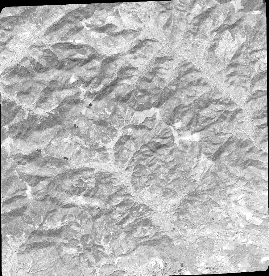
Quicklook
Copyright