TYPE:
SENSOR
LAYER:
SEN_SPOT7_20200824_061100300_000
FORMAT:
DIMAP
RASTER:
image/jp2
General Information
Map Name
Geometric Processing Level
Radiometric Processing Level
BASIC
Image dimensions
Number of columns
9642
Number of rows
6855
Number of spectral bands
4
Dataset framing
Vertice
Longitude (DEG)
Latitude (DEG)
Row
Col
#1
55.313665804
-20.9813741828
1
#2
55.9173975846
-20.9795522053
#3
55.9202623161
-21.3762029371
#4
55.3115458858
-21.3778390178
Dataset sources
SPOT
Coordinate Reference System
Projected Coordinate System
Geocoding tables identification
ITU(0.0)
Production
Production Date
2020-08-24T09:55:14.00Z
Job identification
SPOT7_20200824_0935171n2920jh8zca4_1
Dataset Producer Identification
"SRD GEOSUD / IRD, Irstea, IGN"
Producer link
http://geosud.teledetection.fr/
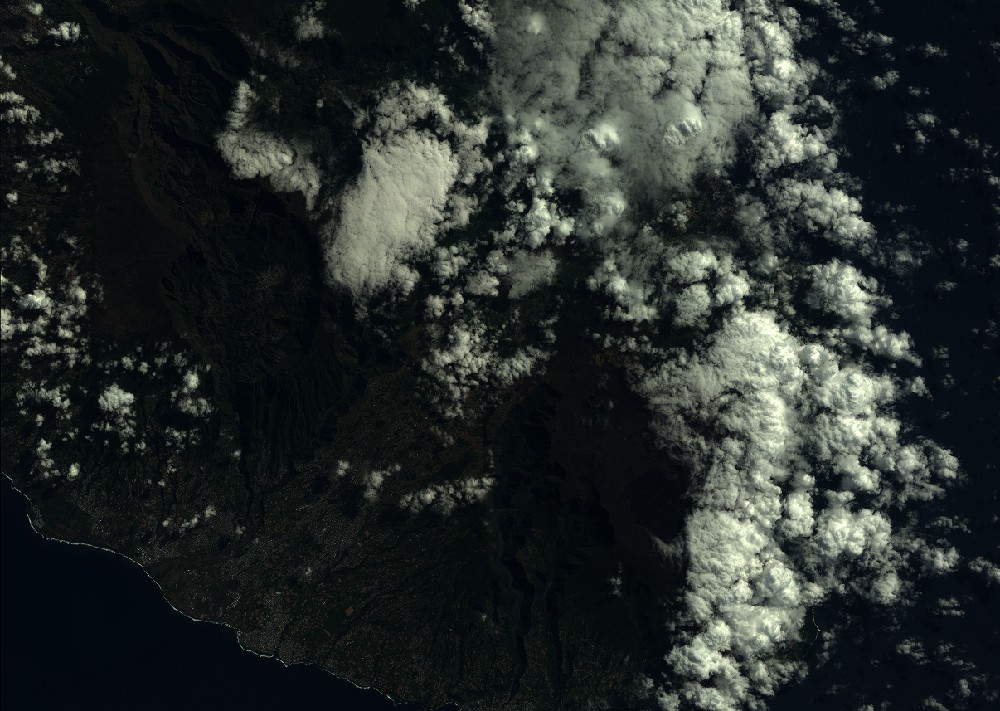
Quicklook
Copyright