TYPE:
SENSOR
LAYER:
SEN_SPOT7_20200819_055957300_000
FORMAT:
DIMAP
RASTER:
image/jp2
General Information
Map Name
Geometric Processing Level
Radiometric Processing Level
BASIC
Image dimensions
Number of columns
9652
Number of rows
5226
Number of spectral bands
4
Dataset framing
Vertice
Longitude (DEG)
Latitude (DEG)
Row
Col
#1
55.3006714967
-21.2682130109
1
#2
55.9167174447
-21.2908548767
#3
55.9153106769
-21.5997053889
#4
55.3008693082
-21.5786207413
Dataset sources
SPOT
Coordinate Reference System
Projected Coordinate System
Geocoding tables identification
ITU(0.0)
Production
Production Date
2020-08-20T14:03:02.00Z
Job identification
SPOT7_20200820_1344591v1f5bst6p21l_1
Dataset Producer Identification
"SRD GEOSUD / IRD, Irstea, IGN"
Producer link
http://geosud.teledetection.fr/
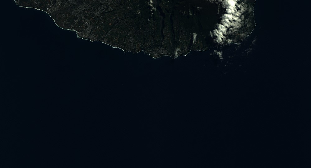
Quicklook
Copyright