TYPE:
SENSOR
LAYER:
SEN_SPOT7_20200819_055944100_000
FORMAT:
DIMAP
RASTER:
image/jp2
General Information
Map Name
Geometric Processing Level
Radiometric Processing Level
BASIC
Image dimensions
Number of columns
38557
Number of rows
27413
Number of spectral bands
1
Dataset framing
Vertice
Longitude (DEG)
Latitude (DEG)
Row
Col
#1
55.2993412118
-20.9793619072
#2
55.9150411371
-20.9918209561
#3
55.9143000291
-21.3906627967
#4
55.3010348665
-21.3794079582
Dataset sources
SPOT
Coordinate Reference System
Projected Coordinate System
Geocoding tables identification
ITU(0.0)
Production
Production Date
2020-10-22T14:37:28.00Z
Job identification
SPOT7_20201022_1419291vik7307h5dpe_1
Dataset Producer Identification
"SRD GEOSUD / IRD, Irstea, IGN"
Producer link
http://geosud.teledetection.fr/
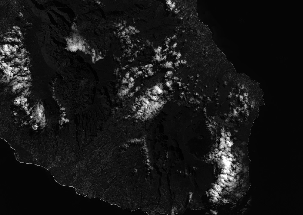
Quicklook
Copyright