TYPE:
SENSOR
LAYER:
SEN_SPOT7_20200819_055944100_000
FORMAT:
DIMAP
RASTER:
image/jp2
General Information
Map Name
Geometric Processing Level
Radiometric Processing Level
BASIC
Image dimensions
Number of columns
9639
Number of rows
6853
Number of spectral bands
4
Dataset framing
Vertice
Longitude (DEG)
Latitude (DEG)
Row
Col
#1
55.299374033
-20.9793918377
1
#2
55.9150098622
-20.9918495029
#3
55.9142689035
-21.390633199
#4
55.3010672252
-21.3793794449
Dataset sources
SPOT
Coordinate Reference System
Projected Coordinate System
Geocoding tables identification
ITU(0.0)
Production
Production Date
2020-10-22T14:37:28.00Z
Job identification
SPOT7_20201022_1419291vik7307h5dpe_1
Dataset Producer Identification
"SRD GEOSUD / IRD, Irstea, IGN"
Producer link
http://geosud.teledetection.fr/
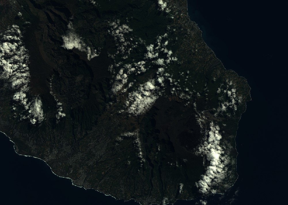
Quicklook
Copyright