TYPE:
SENSOR
LAYER:
SEN_SPOT6_20200818_060608100_000
FORMAT:
DIMAP
RASTER:
image/jp2
General Information
Map Name
Geometric Processing Level
Radiometric Processing Level
BASIC
Image dimensions
Number of columns
9651
Number of rows
4545
Number of spectral bands
4
Dataset framing
Vertice
Longitude (DEG)
Latitude (DEG)
Row
Col
#1
55.3173506469
-21.2787665552
1
#2
55.9103632916
-21.2733143642
#3
55.9109767677
-21.5362587335
#4
55.3159910893
-21.5423709419
Dataset sources
SPOT
Coordinate Reference System
Projected Coordinate System
Geocoding tables identification
ITU(0.0)
Production
Production Date
2020-10-22T14:22:23.00Z
Job identification
SPOT6_20201022_140636179m650yfp52e_1
Dataset Producer Identification
"SRD GEOSUD / IRD, Irstea, IGN"
Producer link
http://geosud.teledetection.fr/
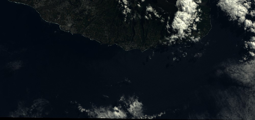
Quicklook
Copyright