TYPE:
SENSOR
LAYER:
SEN_SPOT6_20200818_060551900_000
FORMAT:
DIMAP
RASTER:
image/jp2
General Information
Map Name
Geometric Processing Level
Radiometric Processing Level
BASIC
Image dimensions
Number of columns
38609
Number of rows
37925
Number of spectral bands
1
Dataset framing
Vertice
Longitude (DEG)
Latitude (DEG)
Row
Col
#1
55.1638921088
-20.846589232
#2
55.7454450243
-20.8477587749
#3
55.7461808399
-21.3844666546
#4
55.1616002951
-21.383807172
Dataset sources
SPOT
Coordinate Reference System
Projected Coordinate System
Geocoding tables identification
ITU(0.0)
Production
Production Date
2020-08-20T14:08:13.00Z
Job identification
SPOT6_20200820_1331001f06cdaz7g2n3_1
Dataset Producer Identification
"SRD GEOSUD / IRD, Irstea, IGN"
Producer link
http://geosud.teledetection.fr/
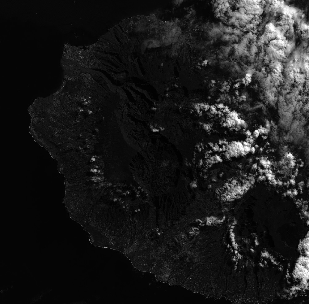
Quicklook
Copyright