TYPE:
SENSOR
LAYER:
SEN_SPOT6_20200818_060537400_000
FORMAT:
DIMAP
RASTER:
image/jp2
General Information
Map Name
Geometric Processing Level
Radiometric Processing Level
BASIC
Image dimensions
Number of columns
38609
Number of rows
28093
Number of spectral bands
1
Dataset framing
Vertice
Longitude (DEG)
Latitude (DEG)
Row
Col
#1
55.3196888596
-20.9810152602
#2
55.9044172255
-20.9832340484
#3
55.9059867227
-21.3858212454
#4
55.3189358176
-21.3825561564
Dataset sources
SPOT
Coordinate Reference System
Projected Coordinate System
Geocoding tables identification
ITU(0.0)
Production
Production Date
2020-10-22T14:25:51.00Z
Job identification
SPOT6_20201022_140552156eh49pjmlpi_1
Dataset Producer Identification
"SRD GEOSUD / IRD, Irstea, IGN"
Producer link
http://geosud.teledetection.fr/
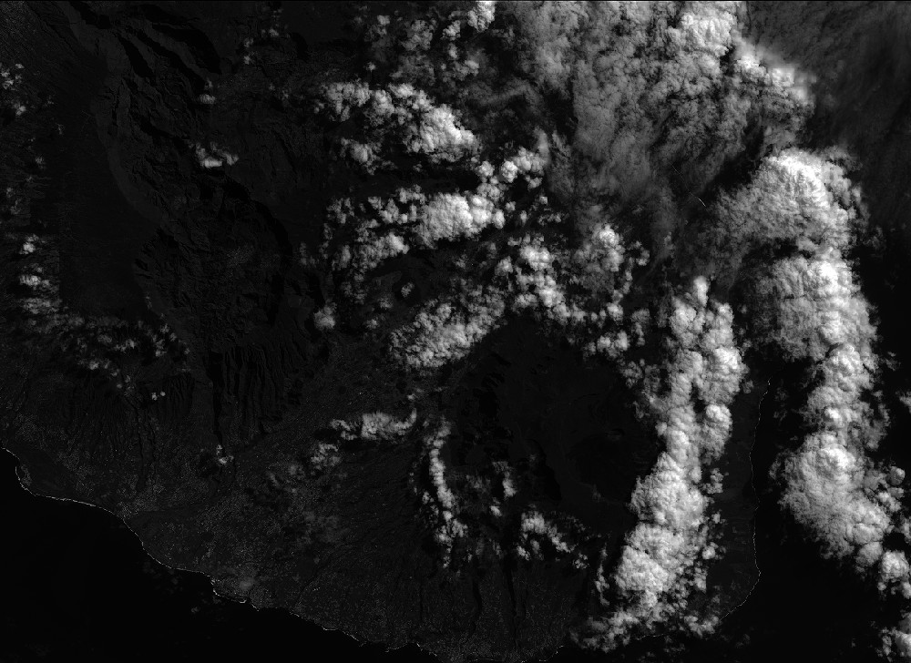
Quicklook
Copyright