TYPE:
SENSOR
LAYER:
SEN_SPOT7_20200816_101018400_000
FORMAT:
DIMAP
RASTER:
image/jp2
General Information
Map Name
Geometric Processing Level
Radiometric Processing Level
BASIC
Image dimensions
Number of columns
9652
Number of rows
10136
Number of spectral bands
4
Dataset framing
Vertice
Longitude (DEG)
Latitude (DEG)
Row
Col
#1
7.20207819608
49.1213478518
1
#2
8.04944161596
49.1305481858
#3
8.04656531836
48.5374095174
#4
7.20598680444
48.5257944748
Dataset sources
SPOT
Coordinate Reference System
Projected Coordinate System
Geocoding tables identification
ITU(0.0)
Production
Production Date
2020-08-20T13:36:26.00Z
Job identification
SPOT7_20200820_1311081oiqzhc8a1pvf_1
Dataset Producer Identification
"SRD GEOSUD / IRD, Irstea, IGN"
Producer link
http://geosud.teledetection.fr/
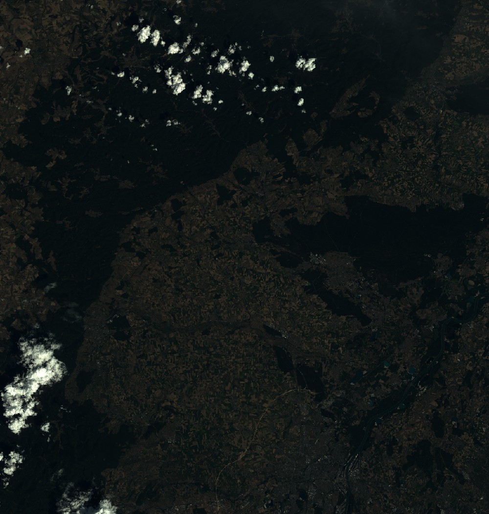
Quicklook
Copyright