TYPE:
SENSOR
LAYER:
DS_PHR1A_202008120629520_FR1_PX_E055S21_1001_02646
FORMAT:
DIMAP
RASTER:
image/jp2
General Information
Map Name
Geometric Processing Level
Radiometric Processing Level
BASIC
Image dimensions
Number of columns
36597
Number of rows
58163
Number of spectral bands
1
Dataset framing
Vertice
Longitude (DEG)
Latitude (DEG)
Row
Col
#1
55.67888419560176
-21.12597452667616
#2
55.86273662264365
-21.13047509512471
#3
55.86319997030019
-21.4040450367818
#4
55.67823225638033
-21.39932600256288
Dataset sources
PHR
Coordinate Reference System
Projected Coordinate System
Geocoding tables identification
EPSG(6.3)
Production
Production Date
2020-08-17T17:12:12.968
Job identification
5256611101-1
Dataset Producer Identification
AIRBUS DS GEO
Producer link
http://www.geo-airbusds.com
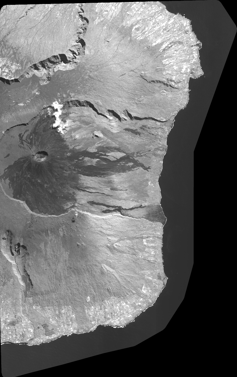
Quicklook
Copyright