TYPE:
SENSOR
LAYER:
DS_PHR1A_202008120629520_FR1_PX_E055S21_1001_02646
FORMAT:
DIMAP
RASTER:
image/jp2
General Information
Map Name
Geometric Processing Level
Radiometric Processing Level
BASIC
Image dimensions
Number of columns
9150
Number of rows
14541
Number of spectral bands
4
Dataset framing
Vertice
Longitude (DEG)
Latitude (DEG)
Row
Col
#1
55.67889193620132
-21.12597727890175
1
#2
55.86274417836083
-21.13047768523915
#3
55.8632075231072
-21.40403816104123
#4
55.67823984812363
-21.39931910436645
Dataset sources
PHR
Coordinate Reference System
Projected Coordinate System
Geocoding tables identification
EPSG(6.3)
Production
Production Date
2020-08-17T17:11:44.437
Job identification
5256611101-2
Dataset Producer Identification
AIRBUS DS GEO
Producer link
http://www.geo-airbusds.com
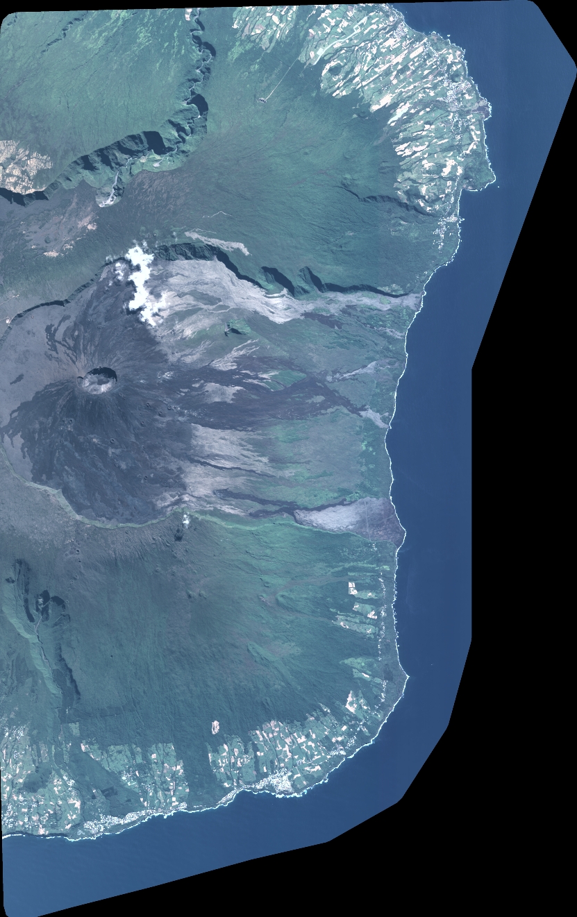
Quicklook
Copyright