TYPE:
SENSOR
LAYER:
DS_PHR1A_202008120629363_FR1_PX_E055S22_0919_00999
FORMAT:
DIMAP
RASTER:
image/jp2
General Information
Map Name
Geometric Processing Level
Radiometric Processing Level
BASIC
Image dimensions
Number of columns
30567
Number of rows
22040
Number of spectral bands
1
Dataset framing
Vertice
Longitude (DEG)
Latitude (DEG)
Row
Col
#1
55.67193603473476
-21.19666187057813
#2
55.82193852048278
-21.19716822257814
#3
55.82181160964014
-21.2977646057205
#4
55.67134369587244
-21.29766105948235
Dataset sources
PHR
Coordinate Reference System
Projected Coordinate System
Geocoding tables identification
EPSG(6.3)
Production
Production Date
2020-08-20T08:21:48.014
Job identification
5265415101-1
Dataset Producer Identification
AIRBUS DS GEO
Producer link
http://www.geo-airbusds.com
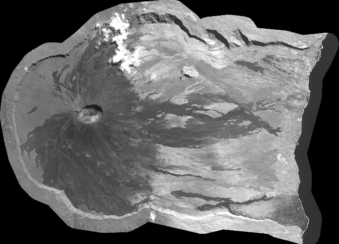
Quicklook
Copyright