TYPE:
SENSOR
LAYER:
DS_PHR1B_202008110637280_FR1_PX_E055S21_0802_01309
FORMAT:
DIMAP
RASTER:
image/jp2
General Information
Map Name
Geometric Processing Level
Radiometric Processing Level
BASIC
Image dimensions
Number of columns
24021
Number of rows
28646
Number of spectral bands
1
Dataset framing
Vertice
Longitude (DEG)
Latitude (DEG)
Row
Col
#1
55.59260115725541
-20.89149778989038
#2
55.71168328341892
-20.88913863027861
#3
55.71176178652933
-21.02318862224572
#4
55.59162960028168
-21.02690586985351
Dataset sources
PHR
Coordinate Reference System
Projected Coordinate System
Geocoding tables identification
EPSG(6.3)
Production
Production Date
2020-08-13T16:58:54.303
Job identification
5244054101-1
Dataset Producer Identification
AIRBUS DS GEO
Producer link
http://www.geo-airbusds.com
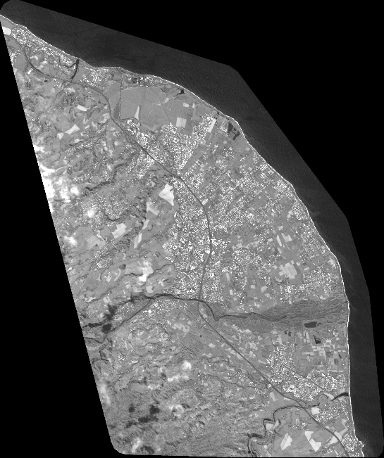
Quicklook
Copyright