TYPE:
SENSOR
LAYER:
DS_PHR1B_202008110637018_FR1_PX_E055S21_0802_01330
FORMAT:
DIMAP
RASTER:
image/jp2
General Information
Map Name
Geometric Processing Level
Radiometric Processing Level
BASIC
Image dimensions
Number of columns
24561
Number of rows
29380
Number of spectral bands
1
Dataset framing
Vertice
Longitude (DEG)
Latitude (DEG)
Row
Col
#1
55.59260647317988
-20.89205498456637
#2
55.71167807897199
-20.89238940341563
#3
55.71176525255824
-21.02532301180264
#4
55.59220691947673
-21.02421025987049
Dataset sources
PHR
Coordinate Reference System
Projected Coordinate System
Geocoding tables identification
EPSG(6.3)
Production
Production Date
2020-08-13T17:06:19.608
Job identification
5244054101-1
Dataset Producer Identification
AIRBUS DS GEO
Producer link
http://www.geo-airbusds.com
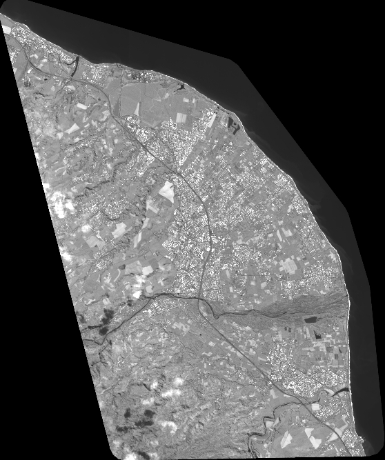
Quicklook
Copyright