TYPE:
SENSOR
LAYER:
DS_PHR1B_202008110636530_FR1_PX_E055S21_0802_01313
FORMAT:
DIMAP
RASTER:
image/jp2
General Information
Map Name
Geometric Processing Level
Radiometric Processing Level
BASIC
Image dimensions
Number of columns
24348
Number of rows
28905
Number of spectral bands
1
Dataset framing
Vertice
Longitude (DEG)
Latitude (DEG)
Row
Col
#1
55.59260591405559
-20.89201427542118
#2
55.7117071392609
-20.89243319551825
#3
55.71176765151134
-21.02595137640435
#4
55.59236402478237
-21.02403047472835
Dataset sources
PHR
Coordinate Reference System
Projected Coordinate System
Geocoding tables identification
EPSG(6.3)
Production
Production Date
2020-08-13T17:06:05.715
Job identification
5244054101-1
Dataset Producer Identification
AIRBUS DS GEO
Producer link
http://www.geo-airbusds.com
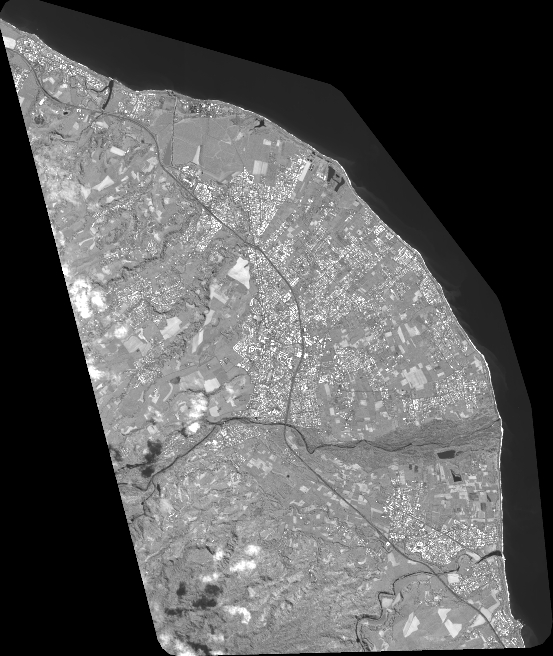
Quicklook
Copyright