TYPE:
SENSOR
LAYER:
DS_PHR1B_202008110637280_FR1_PX_E055S21_0802_01309
FORMAT:
DIMAP
RASTER:
image/jp2
General Information
Map Name
Geometric Processing Level
Radiometric Processing Level
BASIC
Image dimensions
Number of columns
6005
Number of rows
7161
Number of spectral bands
4
Dataset framing
Vertice
Longitude (DEG)
Latitude (DEG)
Row
Col
#1
55.59261847077416
-20.89151379526869
1
#2
55.71168081727792
-20.88915504955728
#3
55.71175927910154
-21.02318167403739
#4
55.59164726111142
-21.02689794218661
Dataset sources
PHR
Coordinate Reference System
Projected Coordinate System
Geocoding tables identification
EPSG(6.3)
Production
Production Date
2020-08-13T16:58:15.656
Job identification
5244054101-2
Dataset Producer Identification
AIRBUS DS GEO
Producer link
http://www.geo-airbusds.com
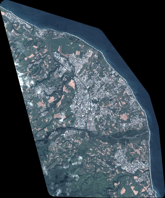
Quicklook
Copyright