TYPE:
SENSOR
LAYER:
DS_PHR1B_202008110637018_FR1_PX_E055S21_0802_01330
FORMAT:
DIMAP
RASTER:
image/jp2
General Information
Map Name
Geometric Processing Level
Radiometric Processing Level
BASIC
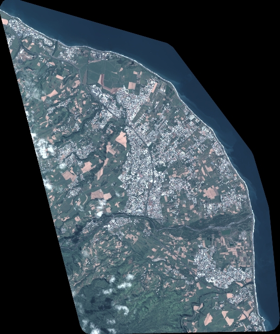
Image dimensions
Number of columns
6141
Number of rows
7345
Number of spectral bands
4
Dataset framing
Vertice
Longitude (DEG)
Latitude (DEG)
Row
Col
#1
55.5926040634304
-20.89206176205346
1
#2
55.71167567459167
-20.8923961879094
#3
55.71176280967295
-21.02531620768283
#4
55.59220452703271
-21.02420352844227
Dataset sources
PHR
Coordinate Reference System
Projected Coordinate System
Geocoding tables identification
EPSG(6.3)
Production
Production Date
2020-08-13T16:58:58.920
Job identification
5244054101-2
Dataset Producer Identification
AIRBUS DS GEO
Producer link
http://www.geo-airbusds.com
Quicklook
Copyright